



Posted by ReyFort Media
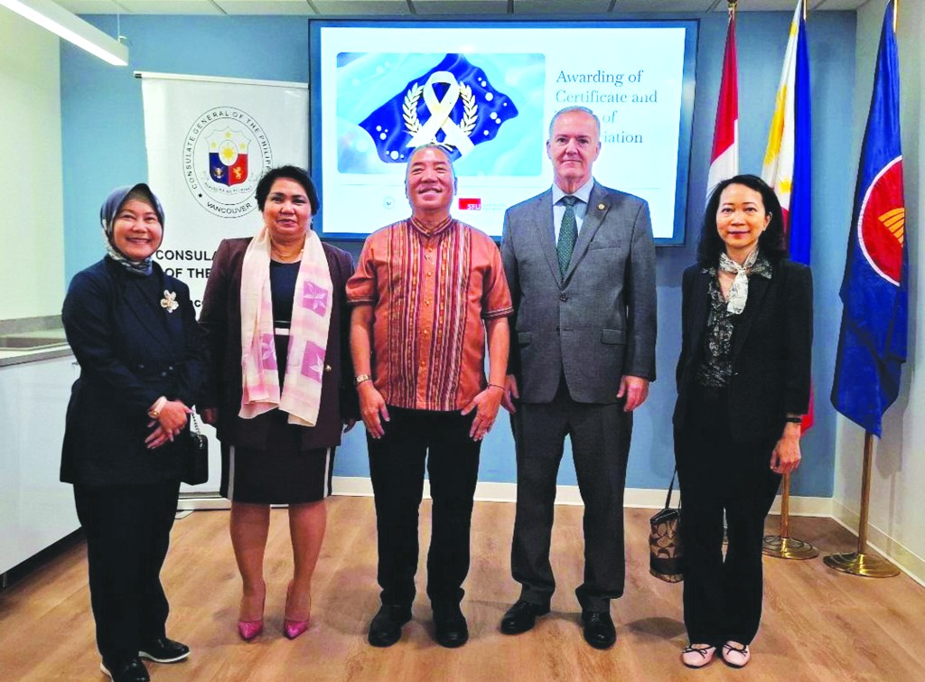
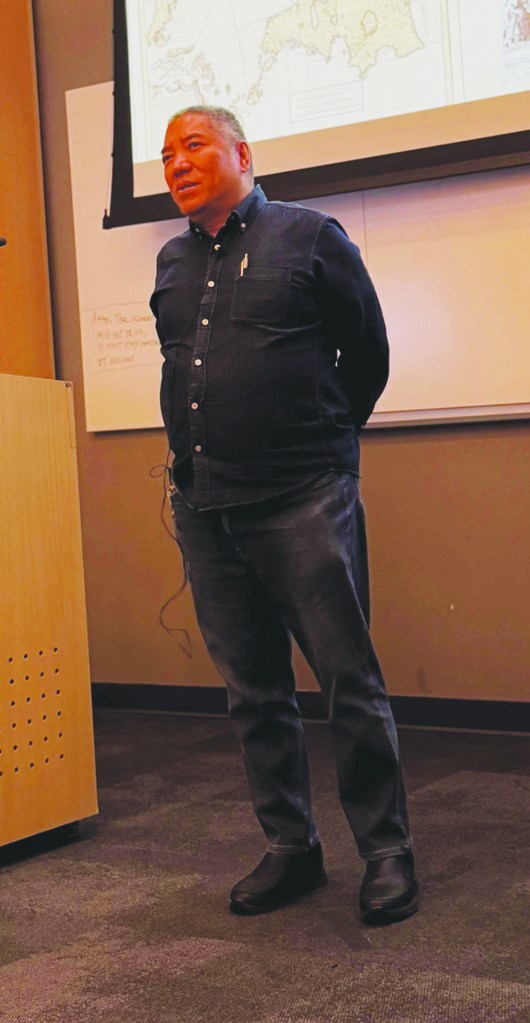
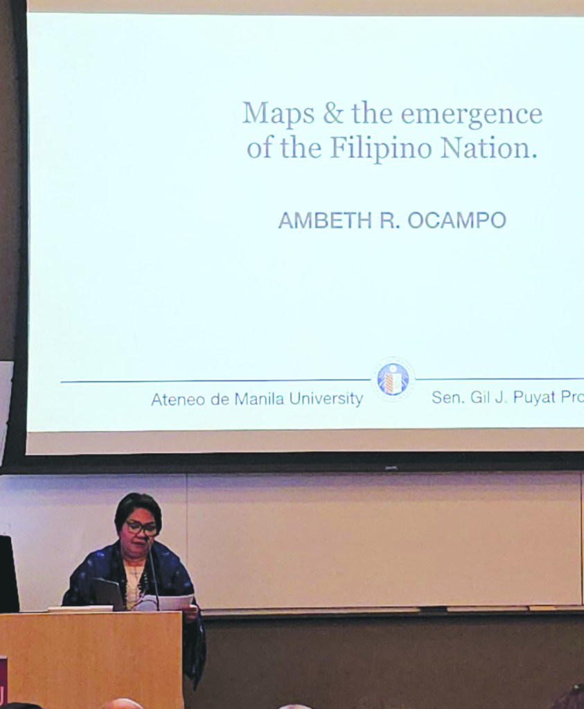
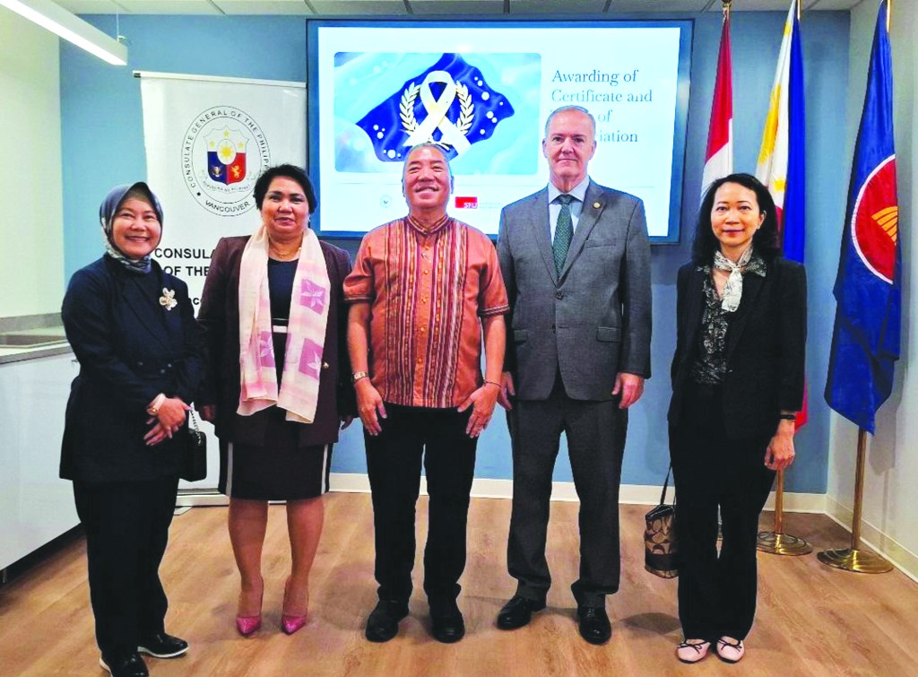
Last week, the Philippine Consulate General in Vancouver organized a series of lectures by Dr. Ambeth Ocampo as part of its activities to celebrate Maritime and Archipelagic Nation Awareness Month (MANAMo) this September. More importantly however, we saw it fit to mount these lectures to commemorate a defining moment in contemporary diplomacy and international jurisprudence: the 10th Anniversary of the landmark 2016 Arbitral Award on the South China Sea.
Ten years ago, the Permanent Court of Arbitration constituted under the United Nations Convention on the Law of the Sea (UNCLOS) rendered a historic decision that firmly upheld the primacy of international law. Today, that ruling is no longer just a milestone in Philippine diplomatic history; it is an indelible part of the corpus of international law. It serves as an enduring anchor for the rules-based international order, affirming that maritime domains are governed by settled legal principles, not by unilateral force or historical assertion.
In the global arena, law remains the great equalizer. For small or middle power nations, international law is both our indispensable shield and our rightful sword. It shields us from coercion and equips us to defend our sovereign rights through peaceful, civilized, and rules-based means.
The Philippines has consistently stood as a responsible maritime nation. Our commitment to UNCLOS and the peaceful settlement of disputes remains unwavering. We believe that true regional stability can only flourish where sovereign equality is respected and where the international rule of law prevails without exception.
To understand the present, however, we must examine how our history was charted. Maps have never been mere geographic tools; they are historic declarations of identity, presence, and sovereignty. The Philippines is a maritime nation and there is no better way to demonstrate this than through maps. It will be recalled that the Philippines was part of a global supply and production network as early as the 16th century when the Manila-Acapulco galleon trade was bringing goods from Manila to Spain and back via Mexico. The galleon ships were not only made by the Philippine shipbuilders but they were manned by Filipino seafarers and Spanish naval officers.
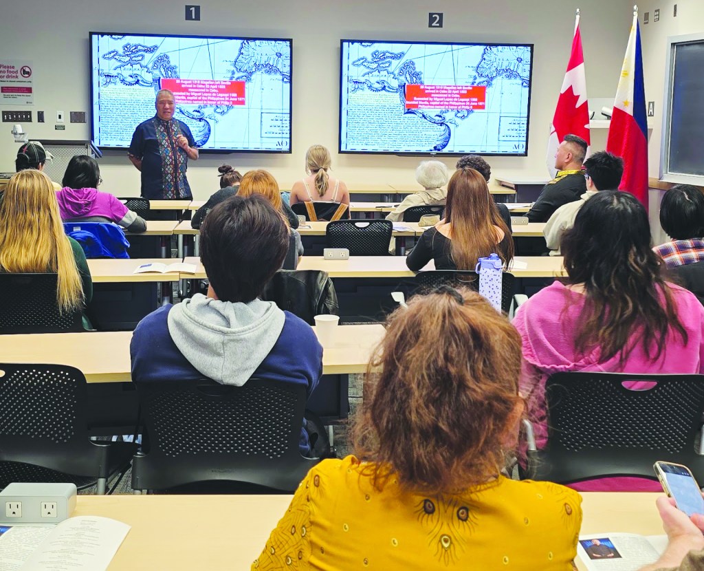
Titled Maps and the Emergence of the Filipino Nation, Dr. Ambeth Ocampo’s lectures showed us how the physical boundaries of our archipelago evolved alongside the spirit of our people. These lectures — which were graciously hosted by our friends at Simon Fraser University (SFU), University of Victoria (UVic), and the Asia Pacific Foundation of Canada — walked everyone through the intricate intersection of cartography, history, and nationhood and how this interaction shaped the Philippines to be the nation it is today.
Marco Harder
Vice Consul






Leave a comment